 vesseltracker.com
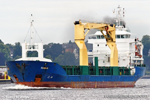
 MAYFLOWER II
Current Status
Where is the vessel?
MAYFLOWER II is currently in 40 nm NW of Manaure, based on AIS data received less than 1h ago.
Latest AIS update:
Current position: 12.25212° N, 72.90449° W (40 nm NW of Manaure)
Average speed (last 7 days): Loading…
Average speed (last 30 days): Loading…
Vessel profile: MAYFLOWER II is a General Cargo with dimensions m x m.
This page combines live AIS, route history, probable destination signals, nearby traffic, and port activity for practical vessel monitoring.
The current position of vessel MAYFLOWER II is 12.25212 lat / -72.90449 lng. Updated: 2026-04-23 16:17:10 UTCNearest reference points:
- Near PUERTO BOLIVAR
- 18 nm N of Santa Marta
- Near Santa Marta
Currently sailing under the flag of Panama ![]()
Details:
Live Vessel MAYFLOWER II Analytics (details, animations, etc.)
Recent AIS points (UTC):
2026-04-23 12:57:51 UTC · 12.45500, -72.47167 · SOG 8 kn · COG -1°2026-04-23 12:57:51 UTC · 12.45500, -72.47167 · SOG 8 kn · COG -1°
2026-04-23 15:15:48 UTC · 12.31167, -72.77333 · SOG 8 kn · COG -1°
2026-04-23 16:17:10 UTC · 12.25212, -72.90449 · SOG 7.2 kn · COG 238°