 vesseltracker.com
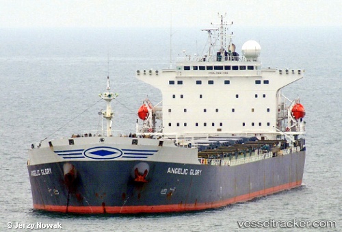
 ERICA
ERICA
Current Status
Where is the vessel?
ERICA is currently in Near JINGTANG, based on AIS data received less than 1h ago.
Latest AIS update:
Current position: 39.20029° N, 118.98463° E (Near JINGTANG)
Average speed (last 7 days): Loading…
Average speed (last 30 days): Loading…
Vessel profile: ERICA is a Bulk Carrier with dimensions 32m x 225m.
This page combines live AIS, route history, probable destination signals, nearby traffic, and port activity for practical vessel monitoring.
The current position of vessel ERICA is 39.20029 lat / 118.98463 lng. Updated: 2026-04-30 21:36:33 UTCNearest reference points:
- Near JINGTANG
- Near CAOFEIDIAN
- 11 nm N of CAOFEIDIAN
Currently sailing under the flag of Panama ![]()
ERICA built in 2002 year
Deadweight:
75007 tDetails:
Live Vessel ERICA Analytics (details, animations, etc.)
Recent AIS points (UTC):
2026-04-30 17:36:52 UTC · 39.20018, 118.98473 · SOG 0 kn · COG 249°2026-04-30 19:30:40 UTC · 39.20015, 118.98469 · SOG 0 kn · COG 249°
2026-04-30 20:00:40 UTC · 39.20018, 118.98469 · SOG 0 kn · COG 249°
2026-04-30 21:36:33 UTC · 39.20029, 118.98463 · SOG 0 kn · COG 249°