 vesseltracker.com
 FUXING
Current Status
Where is the vessel?
FUXING is currently in 86 nm SE of Labuan Haji, based on AIS data received about 13d ago.
Latest AIS update:
Current position: 3.57359° N, 119.73318° E (86 nm SE of Labuan Haji)
Average speed (last 7 days): Loading…
Average speed (last 30 days): Loading…
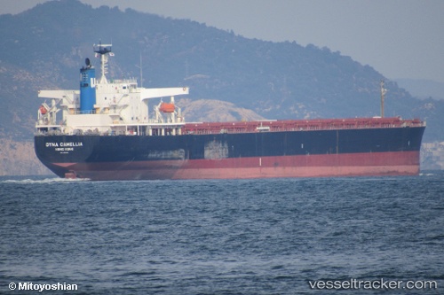
Vessel profile: FUXING is a Bulk Carrier with dimensions 234m x 43m.
This page combines live AIS, route history, probable destination signals, nearby traffic, and port activity for practical vessel monitoring.
The current position of vessel FUXING is 3.57359 lat / 119.73318 lng. Updated: 2026-05-01 18:23:19 UTCNearest reference points:
- 80 nm SE of Labuan Haji
- 43 nm E of Sibuko Bay
- 81 nm E of Muara Pantai
Currently sailing under the flag of Panama ![]()
FUXING built in 2007 year
Deadweight:
91569 tDetails:
Live Vessel FUXING Analytics (details, animations, etc.)
Recent AIS points (UTC):
2026-05-01 18:23:19 UTC · 3.57359, 119.73318 · SOG 15.5 kn · COG 98°2026-05-01 18:23:19 UTC · 3.57359, 119.73318 · SOG 15.5 kn · COG 98°
2026-05-01 18:23:19 UTC · 3.57359, 119.73318 · SOG 15.5 kn · COG 98°
2026-05-01 18:23:19 UTC · 3.57359, 119.73318 · SOG 15.5 kn · COG 98°