 vesseltracker.com
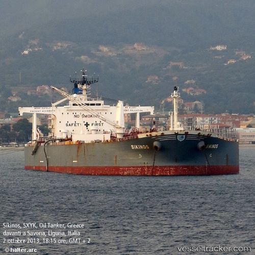
 TULIP
TULIP
Current Status
Where is the vessel?
TULIP is currently in 22 nm SE of ZHOUSHAN, based on AIS data received less than 1h ago.
Latest AIS update:
Current position: 29.68472° N, 122.47297° E (22 nm SE of ZHOUSHAN)
Average speed (last 7 days): Loading…
Average speed (last 30 days): Loading…
Vessel profile: TULIP is a Crude Oil Tanker with dimensions 48m x 274m.
This page combines live AIS, route history, probable destination signals, nearby traffic, and port activity for practical vessel monitoring.
The current position of vessel TULIP is 29.68472 lat / 122.47297 lng. Updated: 2026-04-24 12:22:31 UTCNearest reference points:
- 24 nm SE of ZHOUSHAN
- 25 nm SE of ZHOUSHAN
- 20 nm SE of ZHOUSHAN
Currently sailing under the flag of Panama ![]()
TULIP built in 2000 year
Deadweight:
150709 tDetails:
Live Vessel TULIP Analytics (details, animations, etc.)
Recent AIS points (UTC):
2026-04-24 08:18:17 UTC · 29.90127, 122.21122 · SOG 0 kn · COG 104°2026-04-24 10:00:01 UTC · 29.83012, 122.21392 · SOG 9 kn · COG 139°
2026-04-24 10:51:20 UTC · 29.75467, 122.30375 · SOG 7.1 kn · COG 130°
2026-04-24 12:22:31 UTC · 29.68472, 122.47297 · SOG 6.1 kn · COG 99°