 vesseltracker.com
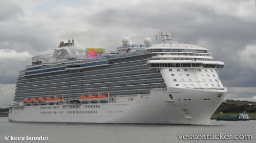
 Royal Princess
Current Status
Where is the vessel?
Royal Princess is currently in 11 nm NW of KENDARI, based on AIS data received less than 1h ago.
Latest AIS update:
Current position: 3.81921° S, 122.49266° E (11 nm NW of KENDARI)
Average speed (last 7 days): Loading…
Average speed (last 30 days): Loading…
Vessel profile: Royal Princess is a Bitumen Tanker with dimensions 104m x 104m.
This page combines live AIS, route history, probable destination signals, nearby traffic, and port activity for practical vessel monitoring.
The current position of vessel Royal Princess is -3.81921 lat / 122.49266 lng. Updated: 2026-04-29 02:13:38 UTCNearest reference points:
- 11 nm NW of KENDARI
- 45 nm N of KENDARI
- Near Labuan
Currently sailing under the flag of Panama ![]()
Royal Princess built in 1989 year
Deadweight:
4132 tDetails:
Live Vessel Royal Princess Analytics (details, animations, etc.)
Recent AIS points (UTC):
2026-04-28 22:58:38 UTC · -3.81921, 122.49264 · SOG 0 kn · COG 141°2026-04-29 00:25:38 UTC · -3.81919, 122.49258 · SOG 0 kn · COG 141°
2026-04-29 01:07:38 UTC · -3.81921, 122.49263 · SOG 0 kn · COG 141°
2026-04-29 02:13:38 UTC · -3.81921, 122.49266 · SOG 0 kn · COG 140°