 vesseltracker.com
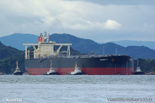
Rene
Current StatusWhere is the vessel?
Rene is currently in 10 nm NW of Petrozuata, based on AIS data received less than 1h ago.
Latest AIS update:
Current position: 10.24315° N, 64.99529° W (10 nm NW of Petrozuata)
Average speed (last 7 days): Loading…
Average speed (last 30 days): Loading…
Vessel profile: Rene is a Crude Oil Tanker with dimensions 60m x 333m.
This page combines live AIS, route history, probable destination signals, nearby traffic, and port activity for practical vessel monitoring.
The current position of vessel Rene is 10.24315 lat / -64.99529 lng. Updated: 2026-05-14 16:14:30 UTCNearest reference points:
- Near Puerto Sucre
- 15 nm SW of Punta de Piedras
Details:
Live Vessel Rene Analytics (details, animations, etc.)
Recent AIS points (UTC):
2026-05-14 13:28:54 UTC · 10.25263, -64.73897 · SOG 0 kn · COG 308°2026-05-14 13:41:34 UTC · 10.25350, -64.73914 · SOG 1.1 kn · COG 308°
2026-05-14 15:29:43 UTC · 10.23788, -64.90139 · SOG 7.3 kn · COG 272°
2026-05-14 16:14:30 UTC · 10.24315, -64.99529 · SOG 7.4 kn · COG 274°