 vesseltracker.com
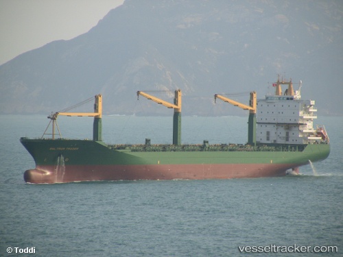
 LOA PEACE
Current Status
Where is the vessel?
LOA PEACE is currently in 111 nm SE of Masirah, based on AIS data received about 3h ago.
Latest AIS update:
Current position: 19.61421° N, 60.60177° E (111 nm SE of Masirah)
Average speed (last 7 days): Loading…
Average speed (last 30 days): Loading…
Vessel profile: LOA PEACE is a Container Ship with dimensions 30m x 207m.
This page combines live AIS, route history, probable destination signals, nearby traffic, and port activity for practical vessel monitoring.
The current position of vessel LOA PEACE is 19.61421 lat / 60.60177 lng. Updated: 2026-03-29 10:29:25 UTCNearest reference points:
- 90 nm SE of SUR
Currently sailing under the flag of Panama ![]()
LOA PEACE built in 1999 year
Deadweight:
34017 tDetails:
Live Vessel LOA PEACE Analytics (details, animations, etc.)
Recent AIS points (UTC):
2026-03-28 23:12:17 UTC · 19.43146, 63.24390 · SOG 14.8 kn · COG 274°2026-03-29 08:24:36 UTC · 19.57853, 61.13125 · SOG 14.6 kn · COG 272°
2026-03-29 10:29:25 UTC · 19.61421, 60.60177 · SOG 14.6 kn · COG 277°
2026-03-29 10:29:25 UTC · 19.61421, 60.60177 · SOG 14.6 kn · COG 277°