 vesseltracker.com
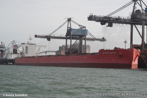
Am Port Cartier
Current StatusWhere is the vessel?
Am Port Cartier is currently in 13 nm SE of ILHA GUAIBA, based on AIS data received about 1h ago.
Latest AIS update:
Current position: 23.21130° S, 43.92561° W (13 nm SE of ILHA GUAIBA)
Average speed (last 7 days): Loading…
Average speed (last 30 days): Loading…
Vessel profile: Am Port Cartier is a Bulk Carrier with dimensions 45m x 292m.
This page combines live AIS, route history, probable destination signals, nearby traffic, and port activity for practical vessel monitoring.
The current position of vessel Am Port Cartier is -23.21130 lat / -43.92561 lng. Updated: 2026-05-14 17:49:11 UTCNearest reference points:
- Near ILHA GUAIBA
- Near SANTA RITA
- Near CUNHAMBEBE
Details:
Live Vessel Am Port Cartier Analytics (details, animations, etc.)
Recent AIS points (UTC):
2026-05-14 13:58:47 UTC · -23.52380, -43.42379 · SOG 12.2 kn · COG 298°2026-05-14 16:28:59 UTC · -23.27564, -43.88064 · SOG 11.3 kn · COG 311°
2026-05-14 16:30:19 UTC · -23.27291, -43.88374 · SOG 10.5 kn · COG 311°
2026-05-14 17:49:11 UTC · -23.21130, -43.92561 · SOG 3.8 kn · COG 299°