 vesseltracker.com
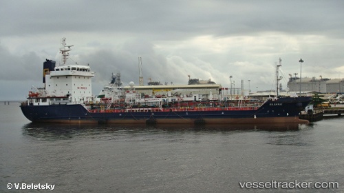
Kiluanje
Current StatusWhere is the vessel?
Kiluanje is currently in Near Port Said, based on AIS data received less than 1h ago.
Latest AIS update:
Current position: 31.36998° N, 32.26883° E (Near Port Said)
Average speed (last 7 days): Loading…
Average speed (last 30 days): Loading…
Vessel profile: Kiluanje is a Oil Products Tanker with dimensions 18m x 103m.
This page combines live AIS, route history, probable destination signals, nearby traffic, and port activity for practical vessel monitoring.
The current position of vessel Kiluanje is 31.36998 lat / 32.26883 lng. Updated: 2026-05-01 22:16:33 UTCNearest reference points:
- Near Port Said
- 14 nm N of Port Said
- 15 nm N of Port Said
Details:
Live Vessel Kiluanje Analytics (details, animations, etc.)
Recent AIS points (UTC):
2026-05-01 19:10:31 UTC · 31.36955, 32.26945 · SOG 0 kn · COG 17°2026-05-01 20:01:35 UTC · 31.36957, 32.26948 · SOG 0 kn · COG 15°
2026-05-01 22:01:30 UTC · 31.36985, 32.26895 · SOG 0 kn · COG 49°
2026-05-01 22:16:33 UTC · 31.36998, 32.26883 · SOG 0 kn · COG 61°