 vesseltracker.com
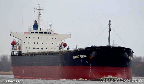
 HARBOUR WELL
Current Status
Where is the vessel?
HARBOUR WELL is currently in 78 nm SE of Senipah Oil Terminal, based on AIS data received less than 1h ago.
Latest AIS update:
Current position: 1.94333° S, 118.17833° E (78 nm SE of Senipah Oil Terminal)
Average speed (last 7 days): Loading…
Average speed (last 30 days): Loading…
Vessel profile: HARBOUR WELL is a Bulk Carrier with dimensions 32m x 224m.
This page combines live AIS, route history, probable destination signals, nearby traffic, and port activity for practical vessel monitoring.
The current position of vessel HARBOUR WELL is -1.94333 lat / 118.17833 lng. Updated: 2026-05-14 07:53:25 UTCNearest reference points:
- 18 nm E of Senipah Oil Terminal
- Near Senipah Oil Terminal
- 11 nm NE of Senipah Oil Terminal
Currently sailing under the flag of Panama ![]()
HARBOUR WELL built in 1998 year
Deadweight:
72497 tDetails:
Live Vessel HARBOUR WELL Analytics (details, animations, etc.)
Recent AIS points (UTC):
2026-05-14 04:46:20 UTC · -2.55833, 118.34333 · SOG 12 kn · COG -1°2026-05-14 05:31:34 UTC · -2.40667, 118.29667 · SOG 12 kn · COG -1°
2026-05-14 07:41:18 UTC · -1.98167, 118.18833 · SOG 12 kn · COG -1°
2026-05-14 07:53:25 UTC · -1.94333, 118.17833 · SOG 12 kn · COG -1°