 vesseltracker.com
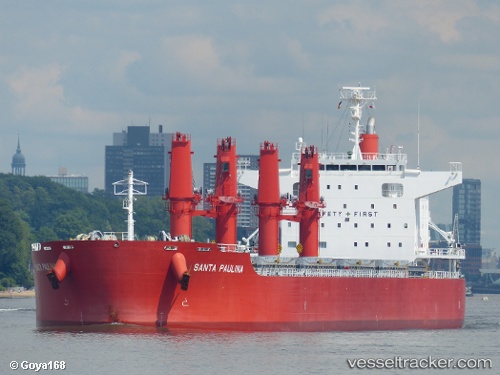
Santa Paulina
Current StatusWhere is the vessel?
Santa Paulina is currently in 10 nm S of Kidd's Beach, based on AIS data received about 1h ago.
Latest AIS update:
Current position: 33.30039° S, 27.65508° E (10 nm S of Kidd's Beach)
Average speed (last 7 days): Loading…
Average speed (last 30 days): Loading…
Vessel profile: Santa Paulina is a Bulk Carrier with dimensions 32m x 199m.
This page combines live AIS, route history, probable destination signals, nearby traffic, and port activity for practical vessel monitoring.
The current position of vessel Santa Paulina is -33.30039 lat / 27.65508 lng. Updated: 2026-05-13 22:43:09 UTCNearest reference points:
- Near Deal Party
- 21 nm S of Mount Pleasant
- 23 nm E of Port Saint John's
Details:
Live Vessel Santa Paulina Analytics (details, animations, etc.)
Recent AIS points (UTC):
2026-05-13 19:16:40 UTC · -33.06874, 27.98694 · SOG 5.6 kn · COG 224°2026-05-13 20:16:29 UTC · -33.13340, 27.89728 · SOG 6.1 kn · COG 225°
2026-05-13 21:31:59 UTC · -33.22152, 27.77896 · SOG 6.6 kn · COG 230°
2026-05-13 22:43:09 UTC · -33.30039, 27.65508 · SOG 7.2 kn · COG 230°