 vesseltracker.com
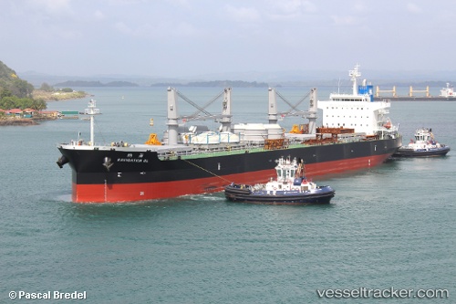
Navigation Ol
Current StatusWhere is the vessel?
Navigation Ol is currently in 85 nm W of Chimbote, based on AIS data received less than 1h ago.
Latest AIS update:
Current position: 9.45912° S, 79.97820° W (85 nm W of Chimbote)
Average speed (last 7 days): Loading…
Average speed (last 30 days): Loading…
Vessel profile: Navigation Ol is a Bulk Carrier with dimensions 32m x 199m.
This page combines live AIS, route history, probable destination signals, nearby traffic, and port activity for practical vessel monitoring.
The current position of vessel Navigation Ol is -9.45912 lat / -79.97820 lng. Updated: 2026-04-26 09:58:41 UTCNearest reference points:
- 81 nm SW of Chimbote
- 43 nm SW of Barranca
Details:
Live Vessel Navigation Ol Analytics (details, animations, etc.)
Recent AIS points (UTC):
2026-04-26 05:45:07 UTC · -9.70251, -79.28155 · SOG 10.1 kn · COG 287°2026-04-26 07:13:35 UTC · -9.62000, -79.52333 · SOG 10 kn · COG -1°
2026-04-26 07:21:41 UTC · -9.61168, -79.54591 · SOG 10.5 kn · COG 291°
2026-04-26 09:58:41 UTC · -9.45912, -79.97820 · SOG 10.6 kn · COG 290°