 vesseltracker.com
 ARCADIA V
Current Status
Where is the vessel?
ARCADIA V is currently in Near TANAH MERAH, based on AIS data received about 714d ago.
Latest AIS update:
Current position: 1.31496° N, 104.07421° E (Near TANAH MERAH)
Average speed (last 7 days): Loading…
Average speed (last 30 days): Loading…
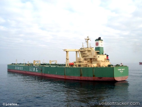
Vessel profile: ARCADIA V is a Crude Oil Tanker with dimensions 333m x 60m.
This page combines live AIS, route history, probable destination signals, nearby traffic, and port activity for practical vessel monitoring.
The current position of vessel ARCADIA V is 1.31496 lat / 104.07421 lng. Updated: 2024-05-10 03:51:00 UTCNearest reference points:
- Near TANAH MERAH
- Near Tanjung Setapa
- Near Changi
Currently sailing under the flag of Panama ![]()
ARCADIA V built in 2000 year
Deadweight:
298920 tDetails:
Live Vessel ARCADIA V Analytics (details, animations, etc.)
Recent AIS points (UTC):
2024-05-10 03:51:00 UTC · 1.31496, 104.07421 · SOG 0.1 kn · COG 89° · DEST PBGC