 vesseltracker.com
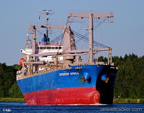
 ROSEMARY I
Current Status
Where is the vessel?
ROSEMARY I is currently in Near Beira, based on AIS data received less than 1h ago.
Latest AIS update:
Current position: 19.81479° S, 34.83467° E (Near Beira)
Average speed (last 7 days): Loading…
Average speed (last 30 days): Loading…
Vessel profile: ROSEMARY I is a General Cargo Ship with dimensions 20m x 124m.
This page combines live AIS, route history, probable destination signals, nearby traffic, and port activity for practical vessel monitoring.
The current position of vessel ROSEMARY I is -19.81479 lat / 34.83467 lng. Updated: 2026-05-01 05:47:01 UTCNearest reference points:
- Near Beira
- 14 nm E of Beira
- 21 nm SE of Beira
Currently sailing under the flag of Panama ![]()
ROSEMARY I built in 2010 year
Deadweight:
13325 tDetails:
Live Vessel ROSEMARY I Analytics (details, animations, etc.)
Recent AIS points (UTC):
2026-05-01 02:10:59 UTC · -19.81481, 34.83465 · SOG 0 kn · COG 173°2026-05-01 03:23:03 UTC · -19.81481, 34.83465 · SOG 0 kn · COG 173°
2026-05-01 05:02:03 UTC · -19.81482, 34.83465 · SOG 0 kn · COG 173°
2026-05-01 05:47:01 UTC · -19.81479, 34.83467 · SOG 0 kn · COG 173°