 vesseltracker.com
 Mayfield
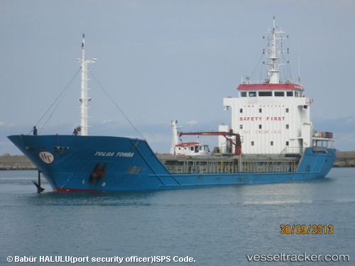
Current Status
Where is the vessel?
Mayfield is currently in 24 nm W of Mugia, based on AIS data received about 20h ago.
Latest AIS update:
Current position: 43.11563° N, 9.76595° W (24 nm W of Mugia)
Average speed (last 7 days): Loading…
Average speed (last 30 days): Loading…
Vessel profile: Mayfield is a General Cargo Ship with dimensions 93m x 14m.
This page combines live AIS, route history, probable destination signals, nearby traffic, and port activity for practical vessel monitoring.
The current position of vessel Mayfield is 43.11563 lat / -9.76595 lng. Updated: 2026-04-10 08:06:45 UTCNearest reference points:
- 13 nm NE of Villanueva de Lorenzana
- Near Portosin
- 40 nm NW of Sarinena
Currently sailing under the flag of Panama ![]()
Mayfield built in 2008 year
Deadweight:
4300 tDetails:
Live Vessel Mayfield Analytics (details, animations, etc.)
Recent AIS points (UTC):
2026-04-10 02:37:55 UTC · 42.47347, -9.79003 · SOG 7.3 kn · COG 359°2026-04-10 04:22:05 UTC · 42.68445, -9.78778 · SOG 6.8 kn · COG 3°
2026-04-10 05:21:48 UTC · 42.80171, -9.78266 · SOG 6.8 kn · COG 1°
2026-04-10 08:06:45 UTC · 43.11563, -9.76595 · SOG 6.9 kn · COG 5°