 vesseltracker.com
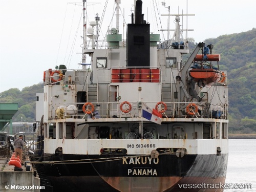
 Jinhua 11
Current Status
Where is the vessel?
Jinhua 11 is currently in Near Longkou, based on AIS data received less than 1h ago.
Latest AIS update:
Current position: 37.66290° N, 120.30467° E (Near Longkou)
Average speed (last 7 days): Loading…
Average speed (last 30 days): Loading…
Vessel profile: Jinhua 11 is a General Cargo Ship with dimensions 79m x 12m.
This page combines live AIS, route history, probable destination signals, nearby traffic, and port activity for practical vessel monitoring.
The current position of vessel Jinhua 11 is 37.66290 lat / 120.30467 lng. Updated: 2026-04-24 12:20:35 UTCNearest reference points:
- Near Longkou
- Near Longkou Pt
- 15 nm NE of Taipingwan
Currently sailing under the flag of Panama ![]()
Details:
Live Vessel Jinhua 11 Analytics (details, animations, etc.)
Recent AIS points (UTC):
2026-04-24 08:20:35 UTC · 37.66293, 120.30470 · SOG 0 kn · COG 39°2026-04-24 09:59:34 UTC · 37.66290, 120.30468 · SOG 0 kn · COG 39°
2026-04-24 10:52:30 UTC · 37.66293, 120.30470 · SOG 0 kn · COG 39°
2026-04-24 12:20:35 UTC · 37.66290, 120.30467 · SOG 0 kn · COG 39°