 vesseltracker.com
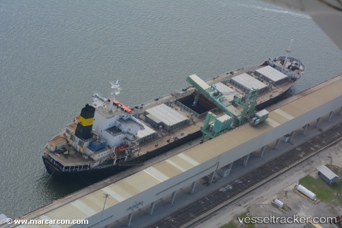
 Texasenterprise
Current Status
Where is the vessel?
Texasenterprise is currently in Near Vashon, based on AIS data received about 11d ago.
Latest AIS update:
Current position: 47.41940° N, 122.37700° W (Near Vashon)
Average speed (last 7 days): Loading…
Average speed (last 30 days): Loading…
Vessel profile: Texasenterprise is a Bulk Carrier with dimensions 186m x 28m.
This page combines live AIS, route history, probable destination signals, nearby traffic, and port activity for practical vessel monitoring.
The current position of vessel Texasenterprise is 47.41940 lat / -122.37700 lng. Updated: 2026-05-04 05:01:28 UTCNearest reference points:
- Near Tacoma
- Near Fife
- Near Boeing Field Apt
Currently sailing under the flag of USA ![]()
Texasenterprise built in 1981 year
Deadweight:
36414 tDetails:
Live Vessel Texasenterprise Analytics (details, animations, etc.)
Recent AIS points (UTC):
2026-05-04 05:01:28 UTC · 47.41940, -122.37700 · SOG 8.7 kn · COG 306°2026-05-04 05:01:28 UTC · 47.41940, -122.37700 · SOG 8.7 kn · COG 306°
2026-05-04 05:01:28 UTC · 47.41940, -122.37700 · SOG 8.7 kn · COG 306°
2026-05-04 05:01:28 UTC · 47.41940, -122.37700 · SOG 8.7 kn · COG 306°