 vesseltracker.com
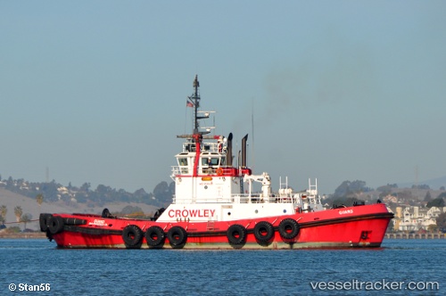
 Guard
Guard
Current Status
Where is the vessel?
Guard is currently in Near Port Townsend, based on AIS data received less than 1h ago.
Latest AIS update:
Current position: 48.26713° N, 122.78688° W (Near Port Townsend)
Average speed (last 7 days): Loading…
Average speed (last 30 days): Loading…
Vessel profile: Guard is a Tug with dimensions 39m x 11m.
This page combines live AIS, route history, probable destination signals, nearby traffic, and port activity for practical vessel monitoring.
The current position of vessel Guard is 48.26713 lat / -122.78688 lng. Updated: 2026-05-16 07:56:36 UTCNearest reference points:
- Near Anacortes
- Near ORCAS
- Near FRIDAY HARBOR
Currently sailing under the flag of USA ![]()
Guard built in 1997 year
Deadweight:
470 tDetails:
Live Vessel Guard Analytics (details, animations, etc.)
Recent AIS points (UTC):
2026-05-16 04:43:27 UTC · 47.90120, -122.47155 · SOG 9.3 kn · COG 349°2026-05-16 05:39:36 UTC · 48.00740, -122.60428 · SOG 8.8 kn · COG 332°
2026-05-16 07:35:48 UTC · 48.22555, -122.79851 · SOG 6.6 kn · COG 2°
2026-05-16 07:56:36 UTC · 48.26713, -122.78688 · SOG 8.1 kn · COG 15°