 vesseltracker.com
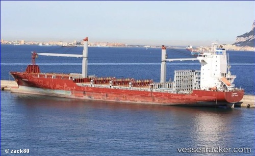
 CMA CGM DAKAR
Current Status
Where is the vessel?
CMA CGM DAKAR is currently in Near Itoshima, Fukuoka, based on AIS data received less than 1h ago.
Latest AIS update:
Current position: 33.64596° N, 130.25439° E (Near Itoshima, Fukuoka)
Average speed (last 7 days): Loading…
Average speed (last 30 days): Loading…
Vessel profile: CMA CGM DAKAR is a Container Ship with dimensions 177m x 28m.
This page combines live AIS, route history, probable destination signals, nearby traffic, and port activity for practical vessel monitoring.
The current position of vessel CMA CGM DAKAR is 33.64596 lat / 130.25439 lng. Updated: 2026-04-26 07:20:27 UTCNearest reference points:
- Near Hakata
- Near Hibiki-Nada
- 17 nm NW of Tobo
Currently sailing under the flag of United States of America ![]()
CMA CGM DAKAR built in 2010 year
Deadweight:
23695 tDetails:
Live Vessel CMA CGM DAKAR Analytics (details, animations, etc.)
Recent AIS points (UTC):
2026-04-26 03:37:28 UTC · 34.13983, 130.00034 · SOG 15.8 kn · COG 148°2026-04-26 04:37:51 UTC · 33.91186, 130.16693 · SOG 16.1 kn · COG 155°
2026-04-26 05:23:55 UTC · 33.74253, 130.25232 · SOG 11.6 kn · COG 181°
2026-04-26 07:20:27 UTC · 33.64596, 130.25439 · SOG 0 kn · COG 155°