 vesseltracker.com
 Freeport
Current Status
Where is the vessel?
Freeport is currently in 16 nm SE of Harvey Cedars, based on AIS data received about 1h ago.
Latest AIS update:
Current position: 39.55035° N, 73.83850° W (16 nm SE of Harvey Cedars)
Average speed (last 7 days): Loading…
Average speed (last 30 days): Loading…
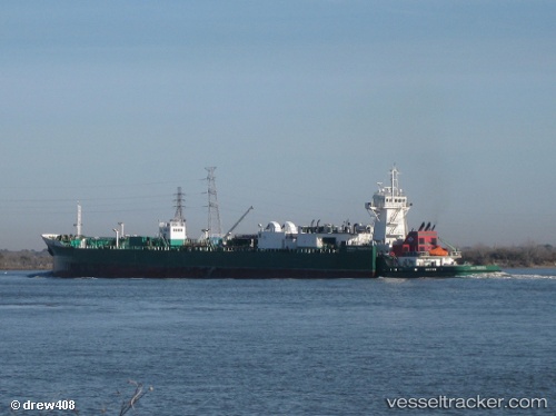
Vessel profile: Freeport is a Pusher Tug with dimensions 184m x 21m.
This page combines live AIS, route history, probable destination signals, nearby traffic, and port activity for practical vessel monitoring.
The current position of vessel Freeport is 39.55035 lat / -73.83850 lng. Updated: 2026-04-30 11:21:35 UTCNearest reference points:
- 13 nm E of Avon-by-the-Sea
- Near Manasquan
- Near FORT HANCOCK
Currently sailing under the flag of USA ![]()
Freeport built in 2007 year
Deadweight:
1388 tDetails:
Live Vessel Freeport Analytics (details, animations, etc.)
Recent AIS points (UTC):
2026-04-30 07:36:15 UTC · 38.89891, -74.36762 · SOG 11.9 kn · COG 33°2026-04-30 09:27:55 UTC · 39.22030, -74.10984 · SOG 12 kn · COG 34°
2026-04-30 10:38:23 UTC · 39.42500, -73.94333 · SOG 11 kn · COG -1°
2026-04-30 11:21:35 UTC · 39.55035, -73.83850 · SOG 12.3 kn · COG 31°