 vesseltracker.com
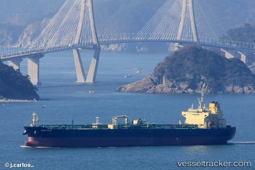
Cabo Kamui
Current StatusWhere is the vessel?
Cabo Kamui is currently in 144 nm W of Ancud, based on AIS data received less than 1h ago.
Latest AIS update:
Current position: 41.37912° S, 76.98671° W (144 nm W of Ancud)
Average speed (last 7 days): Loading…
Average speed (last 30 days): Loading…
Vessel profile: Cabo Kamui is a Crude Oil Tanker with dimensions 32m x 228m.
This page combines live AIS, route history, probable destination signals, nearby traffic, and port activity for practical vessel monitoring.
The current position of vessel Cabo Kamui is -41.37912 lat / -76.98671 lng. Updated: 2026-04-25 23:38:15 UTCDetails:
Live Vessel Cabo Kamui Analytics (details, animations, etc.)
Recent AIS points (UTC):
2026-04-25 19:04:14 UTC · -40.63651, -77.03749 · SOG 11.1 kn · COG 180°2026-04-25 22:17:24 UTC · -41.18142, -76.99801 · SOG 9.1 kn · COG 187°
2026-04-25 22:18:24 UTC · -41.18397, -76.99796 · SOG 9 kn · COG 187°
2026-04-25 23:38:15 UTC · -41.37912, -76.98671 · SOG 8.6 kn · COG 183°