 vesseltracker.com
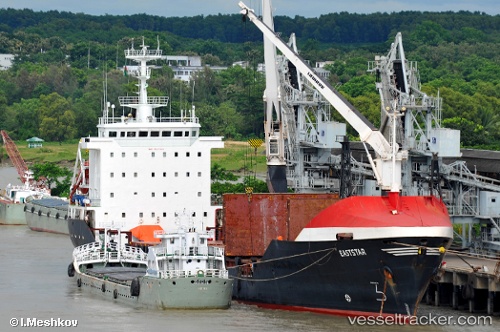
Ano Kato
Current StatusWhere is the vessel?
Ano Kato is currently in Near Sharjah, based on AIS data received about 1h ago.
Latest AIS update:
Current position: 25.47315° N, 55.22573° E (Near Sharjah)
Average speed (last 7 days): Loading…
Average speed (last 30 days): Loading…
Vessel profile: Ano Kato is a General Cargo Ship with dimensions 16m x 160m.
This page combines live AIS, route history, probable destination signals, nearby traffic, and port activity for practical vessel monitoring.
The current position of vessel Ano Kato is 25.47315 lat / 55.22573 lng. Updated: 2026-05-13 18:18:46 UTCNearest reference points:
- Near Sharjah
- Near Free Port
- Near AJMAN
Details:
Live Vessel Ano Kato Analytics (details, animations, etc.)
Recent AIS points (UTC):
2026-05-13 15:30:08 UTC · 25.47342, 55.22798 · SOG 0.1 kn · COG 297°2026-05-13 16:39:30 UTC · 25.47259, 55.22667 · SOG 0.1 kn · COG 359°
2026-05-13 18:18:46 UTC · 25.47315, 55.22573 · SOG 0.1 kn · COG 65°
2026-05-13 18:18:46 UTC · 25.47315, 55.22573 · SOG 0.1 kn · COG 65°