 vesseltracker.com
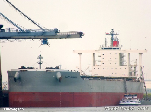
Cape Amanda
Current StatusWhere is the vessel?
Cape Amanda is currently in 75 nm W of Colombo, based on AIS data received less than 1h ago.
Latest AIS update:
Current position: 6.93333° N, 78.59167° E (75 nm W of Colombo)
Average speed (last 7 days): Loading…
Average speed (last 30 days): Loading…
Vessel profile: Cape Amanda is a Bulk Carrier with dimensions 45m x 292m.
This page combines live AIS, route history, probable destination signals, nearby traffic, and port activity for practical vessel monitoring.
The current position of vessel Cape Amanda is 6.93333 lat / 78.59167 lng. Updated: 2026-05-14 08:09:17 UTCNearest reference points:
- 94 nm W of Dehiwala
- 90 nm W of Moratuwa
- 82 nm W of Moratuwa
Details:
Live Vessel Cape Amanda Analytics (details, animations, etc.)
Recent AIS points (UTC):
2026-05-14 04:45:15 UTC · 6.55138, 79.16170 · SOG 12.5 kn · COG 304°2026-05-14 05:59:27 UTC · 6.69431, 78.94692 · SOG 12.5 kn · COG 302°
2026-05-14 07:51:19 UTC · 6.90500, 78.63333 · SOG 10 kn · COG -1°
2026-05-14 08:09:17 UTC · 6.93333, 78.59167 · SOG 10 kn · COG -1°