 vesseltracker.com
 ATA M
ATA M
Current Status
Where is the vessel?
ATA M is currently in Near Al Adabiyah, based on AIS data received less than 1h ago.
Latest AIS update:
Current position: 29.84500° N, 32.52500° E (Near Al Adabiyah)
Average speed (last 7 days): Loading…
Average speed (last 30 days): Loading…
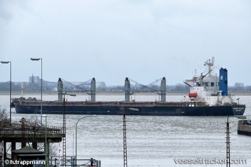
Vessel profile: ATA M is a Bulk Carrier with dimensions 32m x 190m.
This page combines live AIS, route history, probable destination signals, nearby traffic, and port activity for practical vessel monitoring.
The current position of vessel ATA M is 29.84500 lat / 32.52500 lng. Updated: 2026-04-28 00:08:44 UTCNearest reference points:
- Near Bur Ibrahim
- Near AL ADABIYAH
- Near SUEZ PORT
Currently sailing under the flag of Panama ![]()
ATA M built in 2001 year
Deadweight:
52549 tDetails:
Live Vessel ATA M Analytics (details, animations, etc.)
Recent AIS points (UTC):
2026-04-27 19:58:16 UTC · 29.84500, 32.52333 · SOG 0 kn · COG -1°2026-04-27 21:28:51 UTC · 29.84500, 32.52500 · SOG 0 kn · COG -1°
2026-04-27 22:25:07 UTC · 29.84520, 32.52486 · SOG 0 kn · COG 8°
2026-04-28 00:08:44 UTC · 29.84500, 32.52500 · SOG 0 kn · COG -1°