 vesseltracker.com
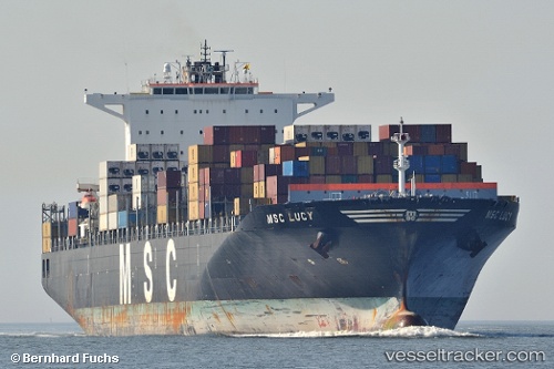
Msc Lucy
Current StatusWhere is the vessel?
Msc Lucy is currently in 156 nm SW of Southampton, based on AIS data received less than 1h ago.
Latest AIS update:
Current position: 29.98333° N, 66.33167° W (156 nm SW of Southampton)
Average speed (last 7 days): Loading…
Average speed (last 30 days): Loading…
Vessel profile: Msc Lucy is a Container Ship with dimensions 43m x 325m.
This page combines live AIS, route history, probable destination signals, nearby traffic, and port activity for practical vessel monitoring.
The current position of vessel Msc Lucy is 29.98333 lat / -66.33167 lng. Updated: 2026-05-15 05:38:24 UTCDetails:
Live Vessel Msc Lucy Analytics (details, animations, etc.)
Recent AIS points (UTC):
2026-05-15 01:17:24 UTC · 29.48500, -67.70167 · SOG 18 kn · COG -1°2026-05-15 04:11:35 UTC · 29.81368, -66.78907 · SOG 17.4 kn · COG 66°
2026-05-15 04:18:11 UTC · 29.82679, -66.75521 · SOG 17.7 kn · COG 67°
2026-05-15 05:38:24 UTC · 29.98333, -66.33167 · SOG 17 kn · COG -1°