 vesseltracker.com
Corona Power
Current StatusWhere is the vessel?
Corona Power is currently in 18 nm SE of Southwest Rocks, based on AIS data received less than 1h ago.
Latest AIS update:
Current position: 31.03438° S, 153.33496° E (18 nm SE of Southwest Rocks)
Average speed (last 7 days): Loading…
Average speed (last 30 days): Loading…
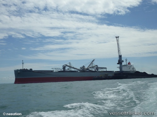
Vessel profile: Corona Power is a Bulk Carrier with dimensions 37m x 228m.
This page combines live AIS, route history, probable destination signals, nearby traffic, and port activity for practical vessel monitoring.
The current position of vessel Corona Power is -31.03438 lat / 153.33496 lng. Updated: 2026-05-16 10:51:46 UTCNearest reference points:
- Near Warners Bay
- Near Caves Beach
Details:
Live Vessel Corona Power Analytics (details, animations, etc.)
Recent AIS points (UTC):
2026-05-16 07:29:24 UTC · -30.28641, 153.55399 · SOG 13.8 kn · COG 189°2026-05-16 08:09:52 UTC · -30.43661, 153.51099 · SOG 13.5 kn · COG 190°
2026-05-16 09:37:11 UTC · -30.75703, 153.42256 · SOG 13.6 kn · COG 190°
2026-05-16 10:51:46 UTC · -31.03438, 153.33496 · SOG 14.1 kn · COG 196°