 vesseltracker.com
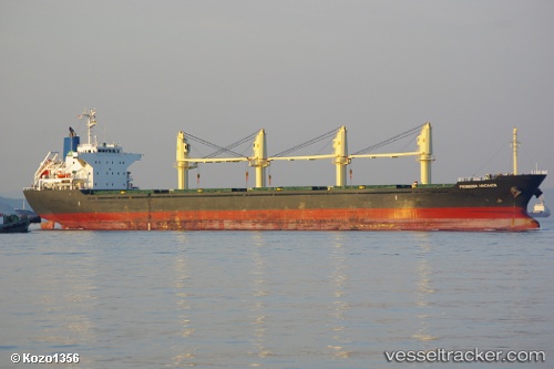
Prinsesa Maganda
Current StatusWhere is the vessel?
Prinsesa Maganda is currently in 19 nm SW of Bangpoomai, based on AIS data received about 3h ago.
Latest AIS update:
Current position: 13.21333° N, 100.44833° E (19 nm SW of Bangpoomai)
Average speed (last 7 days): Loading…
Average speed (last 30 days): Loading…
Vessel profile: Prinsesa Maganda is a Bulk Carrier with dimensions 27m x 169m.
This page combines live AIS, route history, probable destination signals, nearby traffic, and port activity for practical vessel monitoring.
The current position of vessel Prinsesa Maganda is 13.21333 lat / 100.44833 lng. Updated: 2026-05-13 20:06:11 UTCNearest reference points:
- Near Bangpoomai
- Near NH Prosperity
- Near KO SICHANG
Details:
Live Vessel Prinsesa Maganda Analytics (details, animations, etc.)
Recent AIS points (UTC):
2026-05-13 19:57:12 UTC · 13.21333, 100.44833 · SOG 0 kn · COG -1°2026-05-13 20:06:11 UTC · 13.21333, 100.44833 · SOG 0 kn · COG -1°
2026-05-13 20:06:11 UTC · 13.21333, 100.44833 · SOG 0 kn · COG -1°
2026-05-13 20:06:11 UTC · 13.21333, 100.44833 · SOG 0 kn · COG -1°