 vesseltracker.com
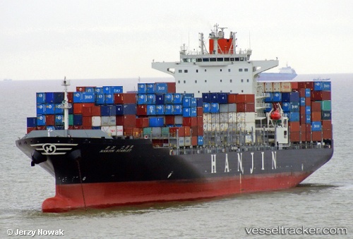
Maersk Iyo
Current StatusWhere is the vessel?
Maersk Iyo is currently in Near Vridi, based on AIS data received about 1h ago.
Latest AIS update:
Current position: 5.18043° N, 4.08855° W (Near Vridi)
Average speed (last 7 days): Loading…
Average speed (last 30 days): Loading…
Vessel profile: Maersk Iyo is a Container Ship with dimensions 37m x 255m.
This page combines live AIS, route history, probable destination signals, nearby traffic, and port activity for practical vessel monitoring.
The current position of vessel Maersk Iyo is 5.18043 lat / -4.08855 lng. Updated: 2026-04-30 20:21:40 UTCNearest reference points:
- Near Vridi
- Near Abidjan
- Near Espoir
Details:
Live Vessel Maersk Iyo Analytics (details, animations, etc.)
Recent AIS points (UTC):
2026-04-30 16:54:40 UTC · 5.18076, -4.08830 · SOG 0 kn · COG 136°2026-04-30 18:24:40 UTC · 5.18055, -4.08845 · SOG 0 kn · COG 130°
2026-04-30 19:15:40 UTC · 5.18073, -4.08829 · SOG 0 kn · COG 136°
2026-04-30 20:21:40 UTC · 5.18043, -4.08855 · SOG 0 kn · COG 130°