 vesseltracker.com
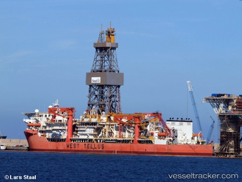
West Tellus
Current StatusWhere is the vessel?
West Tellus is currently in Near Barra do Riacho Pt / Aracruz, based on AIS data received about 1h ago.
Latest AIS update:
Current position: 19.86517° S, 40.06911° W (Near Barra do Riacho Pt / Aracruz)
Average speed (last 7 days): Loading…
Average speed (last 30 days): Loading…
Vessel profile: West Tellus is a Drilling Ship with dimensions 42m x 227m.
This page combines live AIS, route history, probable destination signals, nearby traffic, and port activity for practical vessel monitoring.
The current position of vessel West Tellus is -19.86517 lat / -40.06911 lng. Updated: 2026-05-02 17:24:21 UTCNearest reference points:
- Near Tubarão Pt./Vitória
- Near JARDIM CAMBURI
- Near BAIA DE VITORIA
Details:
Live Vessel West Tellus Analytics (details, animations, etc.)
Recent AIS points (UTC):
2026-05-02 13:41:54 UTC · -19.86493, -40.07007 · SOG 0 kn · COG 37°2026-05-02 16:01:33 UTC · -19.86485, -40.07057 · SOG 0 kn · COG 37°
2026-05-02 16:06:44 UTC · -19.86637, -40.07016 · SOG 1.1 kn · COG 37°
2026-05-02 17:24:21 UTC · -19.86517, -40.06911 · SOG 1 kn · COG 53°