 vesseltracker.com
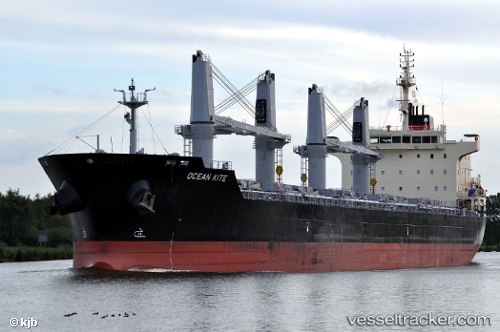
 New Commander
Current Status
Where is the vessel?
New Commander is currently in Near Ha Long, based on AIS data received about 3h ago.
Latest AIS update:
Current position: 20.84833° N, 107.12833° E (Near Ha Long)
Average speed (last 7 days): Loading…
Average speed (last 30 days): Loading…
Vessel profile: New Commander is a Bulk Carrier with dimensions 186m x 28m.
This page combines live AIS, route history, probable destination signals, nearby traffic, and port activity for practical vessel monitoring.
The current position of vessel New Commander is 20.84833 lat / 107.12833 lng. Updated: 2026-05-15 22:53:09 UTCNearest reference points:
- 14 nm SE of Nam Hai Dinh Vu Port
- 12 nm SE of Nam Hai Dinh Vu Port
- 18 nm SE of Ha Long
Currently sailing under the flag of Panama ![]()
New Commander built in 2012 year
Deadweight:
37187 tDetails:
Live Vessel New Commander Analytics (details, animations, etc.)
Recent AIS points (UTC):
2026-05-15 22:53:09 UTC · 20.84833, 107.12833 · SOG 0 kn · COG -1°2026-05-15 22:53:09 UTC · 20.84833, 107.12833 · SOG 0 kn · COG -1°
2026-05-15 22:53:09 UTC · 20.84833, 107.12833 · SOG 0 kn · COG -1°
2026-05-15 22:53:09 UTC · 20.84833, 107.12833 · SOG 0 kn · COG -1°