 vesseltracker.com
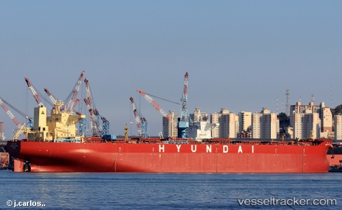
 Hyundai Hadong
Current Status
Where is the vessel?
Hyundai Hadong is currently in 35 nm SW of Kukdo, based on AIS data received about 3h ago.
Latest AIS update:
Current position: 34.06029° N, 128.02486° E (35 nm SW of Kukdo)
Average speed (last 7 days): Loading…
Average speed (last 30 days): Loading…
Vessel profile: Hyundai Hadong is a Bulk Carrier with dimensions 273m x 46m.
This page combines live AIS, route history, probable destination signals, nearby traffic, and port activity for practical vessel monitoring.
The current position of vessel Hyundai Hadong is 34.06029 lat / 128.02486 lng. Updated: 2026-05-14 19:35:14 UTCNearest reference points:
- 35 nm E of Geomundo
- 25 nm S of Kukdo
- 12 nm E of Geomundo
Currently sailing under the flag of Panama ![]()
Details:
Live Vessel Hyundai Hadong Analytics (details, animations, etc.)
Recent AIS points (UTC):
2026-05-14 19:29:17 UTC · 34.05994, 128.02469 · SOG 0.1 kn · COG 106°2026-05-14 19:35:14 UTC · 34.06029, 128.02486 · SOG 0 kn · COG 116°
2026-05-14 19:35:14 UTC · 34.06029, 128.02486 · SOG 0 kn · COG 116°
2026-05-14 19:35:14 UTC · 34.06029, 128.02486 · SOG 0 kn · COG 116°