 vesseltracker.com
 SEHER S
Current Status
Where is the vessel?
SEHER S is currently in 20 nm W of Azenhas do Mar, based on AIS data received about 1h ago.
Latest AIS update:
Current position: 38.92580° N, 9.86734° W (20 nm W of Azenhas do Mar)
Average speed (last 7 days): Loading…
Average speed (last 30 days): Loading…
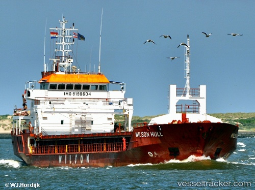
Vessel profile: SEHER S is a General Cargo Ship with dimensions 90m x 15m.
This page combines live AIS, route history, probable destination signals, nearby traffic, and port activity for practical vessel monitoring.
The current position of vessel SEHER S is 38.92580 lat / -9.86734 lng. Updated: 2026-04-09 01:23:38 UTCNearest reference points:
- 18 nm W of Colares
- Near CASCAIS
- Near PENICHE
Currently sailing under the flag of St Vincent and Grenadines ![]()
SEHER S built in 2001 year
Deadweight:
4247 tDetails:
Live Vessel SEHER S Analytics (details, animations, etc.)
Recent AIS points (UTC):
2026-04-08 20:02:06 UTC · 38.19666, -9.70799 · SOG 9 kn · COG 341°2026-04-08 21:29:08 UTC · 38.39782, -9.77106 · SOG 7.1 kn · COG 347°
2026-04-09 00:14:19 UTC · 38.76642, -9.87047 · SOG 7.9 kn · COG 358°
2026-04-09 01:23:38 UTC · 38.92580, -9.86734 · SOG 8.4 kn · COG 2°