 vesseltracker.com
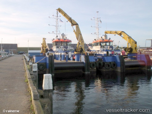
 SILI RUZ
Current Status
Where is the vessel?
SILI RUZ is currently in Near Banana, based on AIS data received about 3d ago.
Latest AIS update:
Current position: 6.00579° S, 12.40678° E (Near Banana)
Average speed (last 7 days): Loading…
Average speed (last 30 days): Loading…
Vessel profile: SILI RUZ is a Utility Vessel with dimensions 11m x 38m.
This page combines live AIS, route history, probable destination signals, nearby traffic, and port activity for practical vessel monitoring.
The current position of vessel SILI RUZ is -6.00579 lat / 12.40678 lng. Updated: 2026-04-23 15:02:36 UTCNearest reference points:
- Near SOYO
- 11 nm W of Cabinda
- Near Futila Terminal
Currently sailing under the flag of St Vincent and Grenadines ![]()
SILI RUZ built in 2010 year
Deadweight:
239 tDetails:
Live Vessel SILI RUZ Analytics (details, animations, etc.)
Recent AIS points (UTC):
2026-04-23 15:02:36 UTC · -6.00579, 12.40678 · SOG 0 kn · COG -1°2026-04-23 15:02:36 UTC · -6.00579, 12.40678 · SOG 0 kn · COG -1°
2026-04-23 15:02:36 UTC · -6.00579, 12.40678 · SOG 0 kn · COG -1°
2026-04-23 15:02:36 UTC · -6.00579, 12.40678 · SOG 0 kn · COG -1°