 vesseltracker.com
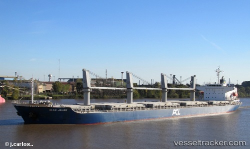
 Kamenari
Current Status
Where is the vessel?
Kamenari is currently in 10 nm E of Il-Kappara, based on AIS data received about 2d ago.
Latest AIS update:
Current position: 35.90698° N, 14.76004° E (10 nm E of Il-Kappara)
Average speed (last 7 days): Loading…
Average speed (last 30 days): Loading…
Vessel profile: Kamenari is a General Cargo Ship with dimensions 177m x 28m.
This page combines live AIS, route history, probable destination signals, nearby traffic, and port activity for practical vessel monitoring.
The current position of vessel Kamenari is 35.90698 lat / 14.76004 lng. Updated: 2026-05-13 11:24:45 UTCNearest reference points:
- 13 nm E of Il-Kappara
- Near Xghajra
- 18 nm E of Il-Kappara
Currently sailing under the flag of St Vincent Grenadines ![]()
Kamenari built in 2010 year
Deadweight:
32326 tDetails:
Live Vessel Kamenari Analytics (details, animations, etc.)
Recent AIS points (UTC):
2026-05-13 11:24:45 UTC · 35.90698, 14.76004 · SOG 0 kn · COG 313°2026-05-13 11:24:45 UTC · 35.90698, 14.76004 · SOG 0 kn · COG 313°
2026-05-13 11:24:45 UTC · 35.90698, 14.76004 · SOG 0 kn · COG 313°
2026-05-13 11:24:45 UTC · 35.90698, 14.76004 · SOG 0 kn · COG 313°