 vesseltracker.com
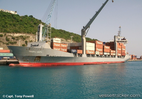
 Tropic Unity
Current Status
Where is the vessel?
Tropic Unity is currently in 29 nm S of CHARLESTOWN, based on AIS data received less than 1h ago.
Latest AIS update:
Current position: 16.66962° N, 62.75506° W (29 nm S of CHARLESTOWN)
Average speed (last 7 days): Loading…
Average speed (last 30 days): Loading…
Vessel profile: Tropic Unity is a General Cargo Ship with dimensions 160m x 22m.
This page combines live AIS, route history, probable destination signals, nearby traffic, and port activity for practical vessel monitoring.
The current position of vessel Tropic Unity is 16.66962 lat / -62.75506 lng. Updated: 2026-04-23 20:14:57 UTCNearest reference points:
- Near Saint John's
- Near ANTIGUA
- Near GUSTAVIA
Currently sailing under the flag of St Vincent Grenadines ![]()
Tropic Unity built in 2002 year
Deadweight:
12418 tDetails:
Live Vessel Tropic Unity Analytics (details, animations, etc.)
Recent AIS points (UTC):
2026-04-23 16:30:47 UTC · 16.29181, -62.57692 · SOG 10.9 kn · COG 337°2026-04-23 17:27:56 UTC · 16.46199, -62.64169 · SOG 11.3 kn · COG 333°
2026-04-23 19:17:58 UTC · 16.66118, -62.75142 · SOG 9.7 kn · COG 340°
2026-04-23 20:14:57 UTC · 16.66962, -62.75506 · SOG 9.9 kn · COG 340°