 vesseltracker.com
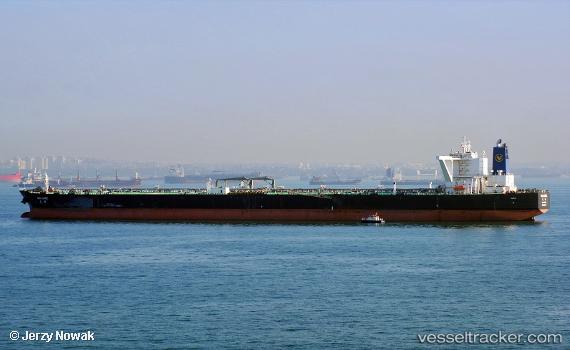
 HE RONG HAI
Current Status
Where is the vessel?
HE RONG HAI is currently in Near Yanbu Industrial City, based on AIS data received about 1h ago.
Latest AIS update:
Current position: 23.93594° N, 38.23661° E (Near Yanbu Industrial City)
Average speed (last 7 days): Loading…
Average speed (last 30 days): Loading…
Vessel profile: HE RONG HAI is a Tanker B with dimensions m x m.
This page combines live AIS, route history, probable destination signals, nearby traffic, and port activity for practical vessel monitoring.
The current position of vessel HE RONG HAI is 23.93594 lat / 38.23661 lng. Updated: 2026-05-15 04:26:47 UTCNearest reference points:
- 30 nm SW of Yanbu
- 42 nm NW of Fiji
- 35 nm S of Umm Lajj
Currently sailing under the flag of China ![]()
Details:
Live Vessel HE RONG HAI Analytics (details, animations, etc.)
Recent AIS points (UTC):
2026-05-15 00:11:47 UTC · 23.93592, 38.23660 · SOG 0 kn · COG 297°2026-05-15 03:32:47 UTC · 23.93593, 38.23661 · SOG 0 kn · COG 297°
2026-05-15 03:32:47 UTC · 23.93593, 38.23661 · SOG 0 kn · COG 297°
2026-05-15 04:26:47 UTC · 23.93594, 38.23661 · SOG 0 kn · COG 297°