 vesseltracker.com
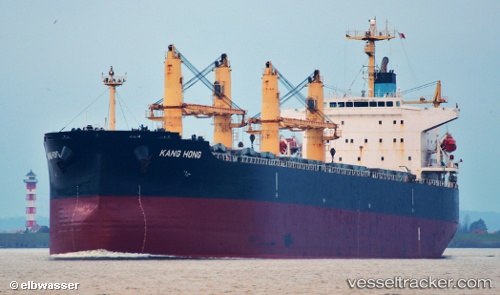
 KANG HONG
Current Status
Where is the vessel?
KANG HONG is currently in Open sea, approx. 423 nm off the nearest listed port, based on AIS data received about 1h ago.
Latest AIS update:
Current position: 12.67833° N, 60.83833° E (Open sea, approx. 423 nm off the nearest listed port)
Average speed (last 7 days): Loading…
Average speed (last 30 days): Loading…
Vessel profile: KANG HONG is a Bulk Carrier with dimensions 32m x 190m.
This page combines live AIS, route history, probable destination signals, nearby traffic, and port activity for practical vessel monitoring.
The current position of vessel KANG HONG is 12.67833 lat / 60.83833 lng. Updated: 2026-05-14 04:32:40 UTCNearest reference points:
- Open sea, approx. 423 nm off the nearest listed port
- Open sea, approx. 422 nm off the nearest listed port
- Open sea, approx. 426 nm off the nearest listed port
Currently sailing under the flag of China Peopless Republic ![]()
KANG HONG built in 2005 year
Deadweight:
55589 tDetails:
Live Vessel KANG HONG Analytics (details, animations, etc.)
Recent AIS points (UTC):
2026-05-14 01:02:32 UTC · 12.44667, 61.49167 · SOG 11 kn · COG -1°2026-05-14 01:56:38 UTC · 12.51167, 61.32333 · SOG 11 kn · COG -1°
2026-05-14 03:44:34 UTC · 12.62667, 60.98500 · SOG 11 kn · COG -1°
2026-05-14 04:32:40 UTC · 12.67833, 60.83833 · SOG 11 kn · COG -1°