 vesseltracker.com
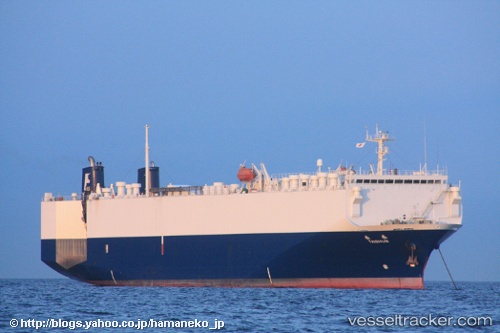
An Ji 11
Current StatusWhere is the vessel?
An Ji 11 is currently in 14 nm E of Dalian, based on AIS data received less than 1h ago.
Latest AIS update:
Current position: 38.89073° N, 121.94346° E (14 nm E of Dalian)
Average speed (last 7 days): Loading…
Average speed (last 30 days): Loading…
Vessel profile: An Ji 11 is a Vehicles Carrier with dimensions 24m x 144m.
This page combines live AIS, route history, probable destination signals, nearby traffic, and port activity for practical vessel monitoring.
The current position of vessel An Ji 11 is 38.89073 lat / 121.94346 lng. Updated: 2026-04-27 04:58:51 UTCNearest reference points:
- 15 nm E of Dalian
- 15 nm SE of Dalian
- 20 nm E of Dalian
Details:
Live Vessel An Ji 11 Analytics (details, animations, etc.)
Recent AIS points (UTC):
2026-04-27 01:55:54 UTC · 39.03564, 121.84391 · SOG 0 kn · COG 195°2026-04-27 02:19:56 UTC · 39.03563, 121.84389 · SOG 0 kn · COG 195°
2026-04-27 03:35:12 UTC · 39.03561, 121.84391 · SOG 0 kn · COG 195°
2026-04-27 04:58:51 UTC · 38.89073, 121.94346 · SOG 13.2 kn · COG 182°