 vesseltracker.com
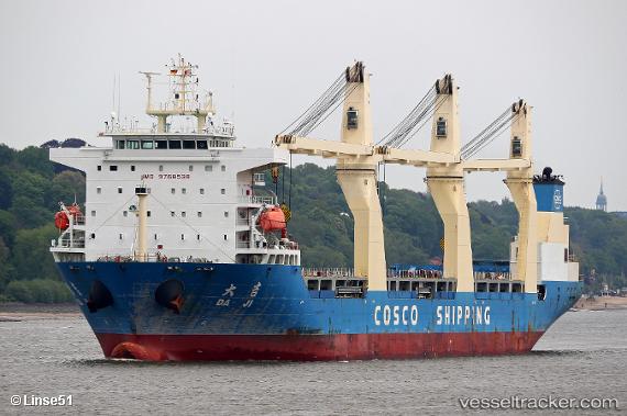
 Da Ji
Da Ji
Current Status
Where is the vessel?
Da Ji is currently in 333 nm SE of Abakaliki, based on AIS data received less than 1h ago.
Latest AIS update:
Current position: 1.22702° N, 88.16422° E (333 nm SE of Abakaliki)
Average speed (last 7 days): Loading…
Average speed (last 30 days): Loading…
Vessel profile: Da Ji is a General Cargo Ship with dimensions 179m x 179m.
This page combines live AIS, route history, probable destination signals, nearby traffic, and port activity for practical vessel monitoring.
The current position of vessel Da Ji is 1.22702 lat / 88.16422 lng. Updated: 2026-04-23 17:57:59 UTCNearest reference points:
- Open sea, approx. 400 nm off the nearest listed port
- Open sea, approx. 403 nm off the nearest listed port
- Open sea, approx. 402 nm off the nearest listed port
Currently sailing under the flag of China ![]()
Details:
Live Vessel Da Ji Analytics (details, animations, etc.)
Recent AIS points (UTC):
2026-04-23 13:31:57 UTC · 1.77376, 88.86561 · SOG 11.9 kn · COG 234°2026-04-23 15:19:10 UTC · 1.55894, 88.58134 · SOG 12.3 kn · COG 232°
2026-04-23 16:17:37 UTC · 1.43071, 88.42464 · SOG 12.4 kn · COG 232°
2026-04-23 17:57:59 UTC · 1.22702, 88.16422 · SOG 11.5 kn · COG 232°