 vesseltracker.com
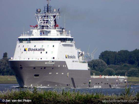
 DE HOU
Current Status
Where is the vessel?
DE HOU is currently in Near Guangzhou, based on AIS data received less than 1h ago.
Latest AIS update:
Current position: 22.87355° N, 113.54305° E (Near Guangzhou)
Average speed (last 7 days): Loading…
Average speed (last 30 days): Loading…
Vessel profile: DE HOU is a Anchor Handling Vessel with dimensions m x m.
This page combines live AIS, route history, probable destination signals, nearby traffic, and port activity for practical vessel monitoring.
The current position of vessel DE HOU is 22.87355 lat / 113.54305 lng. Updated: 2026-05-15 19:06:31 UTCNearest reference points:
- Near Guangzhou
- Near DONG GUAN
- Near Xinsha
Currently sailing under the flag of China ![]()
Details:
Live Vessel DE HOU Analytics (details, animations, etc.)
Recent AIS points (UTC):
2026-05-15 15:54:30 UTC · 22.87356, 113.54303 · SOG 0 kn · COG 114°2026-05-15 17:00:29 UTC · 22.87354, 113.54307 · SOG 0 kn · COG 113°
2026-05-15 17:39:29 UTC · 22.87360, 113.54303 · SOG 0 kn · COG 113°
2026-05-15 19:06:31 UTC · 22.87355, 113.54305 · SOG 0 kn · COG 113°