 vesseltracker.com
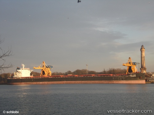
 Tao Hua Hai
Current Status
Where is the vessel?
Tao Hua Hai is currently in 97 nm S of Sunut, based on AIS data received less than 1h ago.
Latest AIS update:
Current position: 10.41333° S, 116.07667° E (97 nm S of Sunut)
Average speed (last 7 days): Loading…
Average speed (last 30 days): Loading…
Vessel profile: Tao Hua Hai is a Bulk Carrier with dimensions 254m x 43m.
This page combines live AIS, route history, probable destination signals, nearby traffic, and port activity for practical vessel monitoring.
The current position of vessel Tao Hua Hai is -10.41333 lat / 116.07667 lng. Updated: 2026-05-14 01:36:44 UTCNearest reference points:
- 86 nm SE of BENETE
- Near LEMBAR
- Near BENOA
Currently sailing under the flag of China ![]()
Tao Hua Hai built in 2012 year
Deadweight:
115184 tDetails:
Live Vessel Tao Hua Hai Analytics (details, animations, etc.)
Recent AIS points (UTC):
2026-05-13 22:14:36 UTC · -10.99167, 116.20333 · SOG 10 kn · COG -1°2026-05-13 23:45:04 UTC · -10.73500, 116.15167 · SOG 10 kn · COG -1°
2026-05-14 00:54:29 UTC · -10.53667, 116.10667 · SOG 10 kn · COG -1°
2026-05-14 01:36:44 UTC · -10.41333, 116.07667 · SOG 11 kn · COG -1°