 vesseltracker.com
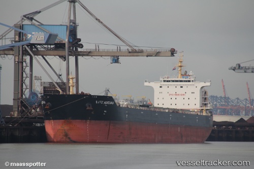
 XIN DONG GUAN 15
Current Status
Where is the vessel?
XIN DONG GUAN 15 is currently in 204 nm SW of Antofagasta, based on AIS data received about 2h ago.
Latest AIS update:
Current position: 26.17333° S, 67.90167° E (204 nm SW of Antofagasta)
Average speed (last 7 days): Loading…
Average speed (last 30 days): Loading…
Vessel profile: XIN DONG GUAN 15 is a Bulk Carrier with dimensions 225m x 225m.
This page combines live AIS, route history, probable destination signals, nearby traffic, and port activity for practical vessel monitoring.
The current position of vessel XIN DONG GUAN 15 is -26.17333 lat / 67.90167 lng. Updated: 2026-04-28 19:21:09 UTCCurrently sailing under the flag of China Peopless Republic ![]()
XIN DONG GUAN 15 built in 2013 year
Deadweight:
76202 tDetails:
Live Vessel XIN DONG GUAN 15 Analytics (details, animations, etc.)
Recent AIS points (UTC):
2026-04-28 15:57:17 UTC · -26.36772, 67.33757 · SOG 9.4 kn · COG 69°2026-04-28 16:21:03 UTC · -26.34500, 67.40167 · SOG 9 kn · COG -1°
2026-04-28 17:30:03 UTC · -26.28333, 67.59667 · SOG 9 kn · COG -1°
2026-04-28 19:21:09 UTC · -26.17333, 67.90167 · SOG 9 kn · COG -1°