 vesseltracker.com
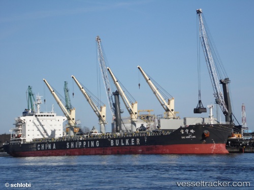
 Bao Ning Ling
Current Status
Where is the vessel?
Bao Ning Ling is currently in 18 nm NE of Camar Marine Terminal, based on AIS data received less than 1h ago.
Latest AIS update:
Current position: 6.03667° S, 113.12667° E (18 nm NE of Camar Marine Terminal)
Average speed (last 7 days): Loading…
Average speed (last 30 days): Loading…
Vessel profile: Bao Ning Ling is a Bulk Carrier with dimensions 189m x 32m.
This page combines live AIS, route history, probable destination signals, nearby traffic, and port activity for practical vessel monitoring.
The current position of vessel Bao Ning Ling is -6.03667 lat / 113.12667 lng. Updated: 2026-05-16 03:17:02 UTCNearest reference points:
- 25 nm NE of Camar Marine Terminal
- 27 nm NE of Camar Marine Terminal
- 50 nm N of Camar Marine Terminal
Currently sailing under the flag of China ![]()
Details:
Live Vessel Bao Ning Ling Analytics (details, animations, etc.)
Recent AIS points (UTC):
2026-05-16 00:00:05 UTC · -6.51552, 112.69201 · SOG 12 kn · COG 20°2026-05-16 01:12:47 UTC · -6.34214, 112.83703 · SOG 12.3 kn · COG 60°
2026-05-16 02:17:57 UTC · -6.17752, 112.98479 · SOG 12.4 kn · COG 44°
2026-05-16 03:17:02 UTC · -6.03667, 113.12667 · SOG 12 kn · COG -1°