 vesseltracker.com
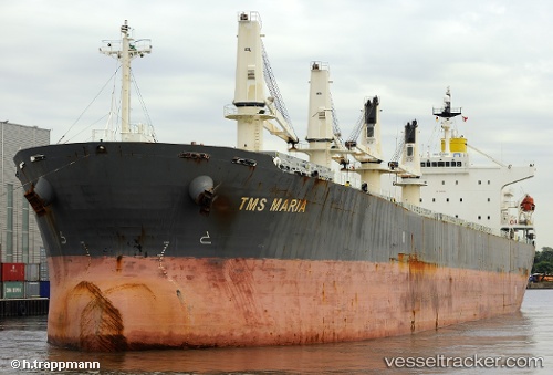
 Yue An Tian Ying
Current Status
Where is the vessel?
Yue An Tian Ying is currently in Near WEDA, based on AIS data received less than 1h ago.
Latest AIS update:
Current position: 0.38833° N, 127.94667° E (Near WEDA)
Average speed (last 7 days): Loading…
Average speed (last 30 days): Loading…
Vessel profile: Yue An Tian Ying is a Bulk Carrier with dimensions 190m x 32m.
This page combines live AIS, route history, probable destination signals, nearby traffic, and port activity for practical vessel monitoring.
The current position of vessel Yue An Tian Ying is 0.38833 lat / 127.94667 lng. Updated: 2026-05-15 00:09:41 UTCNearest reference points:
- 13 nm NE of WEDA
- Near TERNATE
- 55 nm S of Labuha, Molucas
Currently sailing under the flag of China ![]()
Yue An Tian Ying built in 2001 year
Deadweight:
52403 tDetails:
Live Vessel Yue An Tian Ying Analytics (details, animations, etc.)
Recent AIS points (UTC):
2026-05-14 19:51:44 UTC · 0.38833, 127.94667 · SOG 0 kn · COG -1°2026-05-14 21:18:42 UTC · 0.38833, 127.94500 · SOG 0 kn · COG -1°
2026-05-14 22:00:42 UTC · 0.38833, 127.94500 · SOG 0 kn · COG -1°
2026-05-15 00:09:41 UTC · 0.38833, 127.94667 · SOG 0 kn · COG -1°