 vesseltracker.com
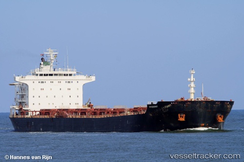
M V Delruba
Current StatusWhere is the vessel?
M V Delruba is currently in 39 nm SW of Kiamari, based on AIS data received less than 1h ago.
Latest AIS update:
Current position: 24.35310° N, 66.45839° E (39 nm SW of Kiamari)
Average speed (last 7 days): Loading…
Average speed (last 30 days): Loading…
Vessel profile: M V Delruba is a Bulk Carrier with dimensions 32m x 225m.
This page combines live AIS, route history, probable destination signals, nearby traffic, and port activity for practical vessel monitoring.
The current position of vessel M V Delruba is 24.35310 lat / 66.45839 lng. Updated: 2026-05-01 20:12:50 UTCNearest reference points:
- 16 nm S of Kiamari
- Near Kiamari
- Near PORT QASIM
Details:
Live Vessel M V Delruba Analytics (details, animations, etc.)
Recent AIS points (UTC):
2026-05-01 16:54:48 UTC · 24.35151, 66.45914 · SOG 0.7 kn · COG 279°2026-05-01 17:54:48 UTC · 24.35131, 66.45915 · SOG 0 kn · COG 273°
2026-05-01 19:18:41 UTC · 24.35147, 66.45912 · SOG 0.6 kn · COG 260°
2026-05-01 20:12:50 UTC · 24.35310, 66.45839 · SOG 0.6 kn · COG 236°