 vesseltracker.com
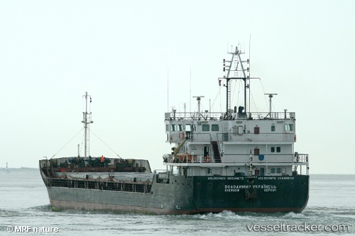
Taradis
Current StatusWhere is the vessel?
Taradis is currently in 20 nm W of Kuryk, based on AIS data received less than 1h ago.
Latest AIS update:
Current position: 43.07376° N, 51.21592° E (20 nm W of Kuryk)
Average speed (last 7 days): Loading…
Average speed (last 30 days): Loading…
Vessel profile: Taradis is a Multi Purpose Carrier with dimensions 16m x 98m.
This page combines live AIS, route history, probable destination signals, nearby traffic, and port activity for practical vessel monitoring.
The current position of vessel Taradis is 43.07376 lat / 51.21592 lng. Updated: 2026-04-25 03:57:54 UTCNearest reference points:
- 24 nm W of Kuryk
- 29 nm SW of Kuryk
- 35 nm W of Kuryk
Details:
Live Vessel Taradis Analytics (details, animations, etc.)
Recent AIS points (UTC):
2026-04-25 01:02:45 UTC · 43.40960, 51.17118 · SOG 7 kn · COG -1°2026-04-25 02:19:16 UTC · 43.26047, 51.17449 · SOG 7 kn · COG -1°
2026-04-25 03:57:54 UTC · 43.07376, 51.21592 · SOG 7 kn · COG -1°
2026-04-25 03:57:54 UTC · 43.07376, 51.21592 · SOG 7 kn · COG -1°