 vesseltracker.com
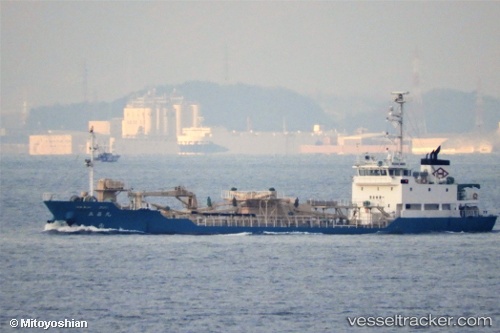
Rissho Maru
Current StatusWhere is the vessel?
Rissho Maru is currently in Near MIZUSHIMA, based on AIS data received less than 1h ago.
Latest AIS update:
Current position: 34.46958° N, 133.75047° E (Near MIZUSHIMA)
Average speed (last 7 days): Loading…
Average speed (last 30 days): Loading…
Vessel profile: Rissho Maru is a Cement Carrier with dimensions 11m x 70m.
This page combines live AIS, route history, probable destination signals, nearby traffic, and port activity for practical vessel monitoring.
The current position of vessel Rissho Maru is 34.46958 lat / 133.75047 lng. Updated: 2026-04-27 10:24:55 UTCNearest reference points:
- Near MIZUSHIMA
- Near Kurashiki
- Near Sakaide
Details:
Live Vessel Rissho Maru Analytics (details, animations, etc.)
Recent AIS points (UTC):
2026-04-27 07:09:15 UTC · 34.50078, 133.72195 · SOG 0 kn · COG 109°2026-04-27 08:01:54 UTC · 34.50085, 133.72205 · SOG 0 kn · COG 109°
2026-04-27 10:10:02 UTC · 34.50032, 133.72166 · SOG 1 kn · COG 151°
2026-04-27 10:24:55 UTC · 34.46958, 133.75047 · SOG 11.8 kn · COG 157°