 vesseltracker.com
Dai18kasugamaru
Current StatusWhere is the vessel?
Dai18kasugamaru is currently in Near Mitoyo, Kagawa, based on AIS data received about 1h ago.
Latest AIS update:
Current position: 34.12558° N, 133.63454° E (Near Mitoyo, Kagawa)
Average speed (last 7 days): Loading…
Average speed (last 30 days): Loading…
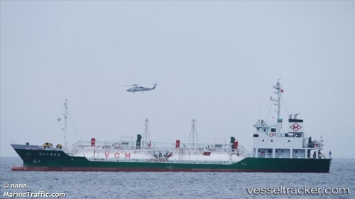
Vessel profile: Dai18kasugamaru is a Lpg Tanker with dimensions 12m x 68m.
This page combines live AIS, route history, probable destination signals, nearby traffic, and port activity for practical vessel monitoring.
The current position of vessel Dai18kasugamaru is 34.12558 lat / 133.63454 lng. Updated: 2026-04-28 14:03:35 UTCNearest reference points:
- Near FUKUYAMA
- Near MIZUSHIMA
- Near Sakaide
Details:
Live Vessel Dai18kasugamaru Analytics (details, animations, etc.)
Recent AIS points (UTC):
2026-04-28 10:34:55 UTC · 34.12555, 133.63449 · SOG 0 kn · COG 265°2026-04-28 11:42:05 UTC · 34.12553, 133.63448 · SOG 0 kn · COG 265°
2026-04-28 13:16:45 UTC · 34.12557, 133.63448 · SOG 0 kn · COG 266°
2026-04-28 14:03:35 UTC · 34.12558, 133.63454 · SOG 0 kn · COG 265°