 vesseltracker.com
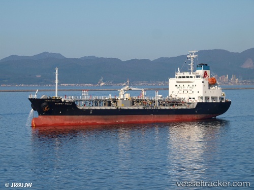
Sunny Noah
Current StatusWhere is the vessel?
Sunny Noah is currently in 11 nm SE of Kosai-Shi, based on AIS data received about 1h ago.
Latest AIS update:
Current position: 34.54570° N, 137.64635° E (11 nm SE of Kosai-Shi)
Average speed (last 7 days): Loading…
Average speed (last 30 days): Loading…
Vessel profile: Sunny Noah is a Chemical Oil Products Tanker with dimensions 17m x 110m.
This page combines live AIS, route history, probable destination signals, nearby traffic, and port activity for practical vessel monitoring.
The current position of vessel Sunny Noah is 34.54570 lat / 137.64635 lng. Updated: 2026-05-15 18:03:01 UTCNearest reference points:
- 17 nm S of TOYOHASHI
- 17 nm SW of OMAEZAKI
- Near TOYOHASHI
Details:
Live Vessel Sunny Noah Analytics (details, animations, etc.)
Recent AIS points (UTC):
2026-05-15 14:25:45 UTC · 34.54680, 138.64478 · SOG 13.9 kn · COG 260°2026-05-15 15:49:12 UTC · 34.54053, 138.25992 · SOG 14.3 kn · COG 275°
2026-05-15 16:58:31 UTC · 34.54278, 137.93655 · SOG 13.1 kn · COG 271°
2026-05-15 18:03:01 UTC · 34.54570, 137.64635 · SOG 13.5 kn · COG 268°