 vesseltracker.com
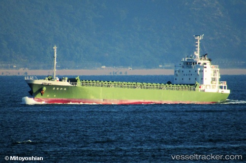
 Manakamaru
Current Status
Where is the vessel?
Manakamaru is currently in 13 nm SW of OMAEZAKI, based on AIS data received about 1h ago.
Latest AIS update:
Current position: 34.49543° N, 138.02359° E (13 nm SW of OMAEZAKI)
Average speed (last 7 days): Loading…
Average speed (last 30 days): Loading…
Vessel profile: Manakamaru is a General Cargo Ship with dimensions 85m x 14m.
This page combines live AIS, route history, probable destination signals, nearby traffic, and port activity for practical vessel monitoring.
The current position of vessel Manakamaru is 34.49543 lat / 138.02359 lng. Updated: 2026-05-16 10:43:41 UTCNearest reference points:
- 17 nm SW of OMAEZAKI
- Near OMAEZAKI
- Near Shimizu
Currently sailing under the flag of Japan ![]()
Details:
Live Vessel Manakamaru Analytics (details, animations, etc.)
Recent AIS points (UTC):
2026-05-16 07:14:28 UTC · 35.01051, 138.50084 · SOG 9.7 kn · COG 359°2026-05-16 07:43:48 UTC · 34.96808, 138.53185 · SOG 13.2 kn · COG 207°
2026-05-16 09:29:02 UTC · 34.60692, 138.31773 · SOG 13.8 kn · COG 213°
2026-05-16 10:43:41 UTC · 34.49543, 138.02359 · SOG 13.1 kn · COG 252°